Value.Safety, efficiency and cross-regional collaboration: understand the value before the investment.
Field challenges
See more of the mineMake decisions faster
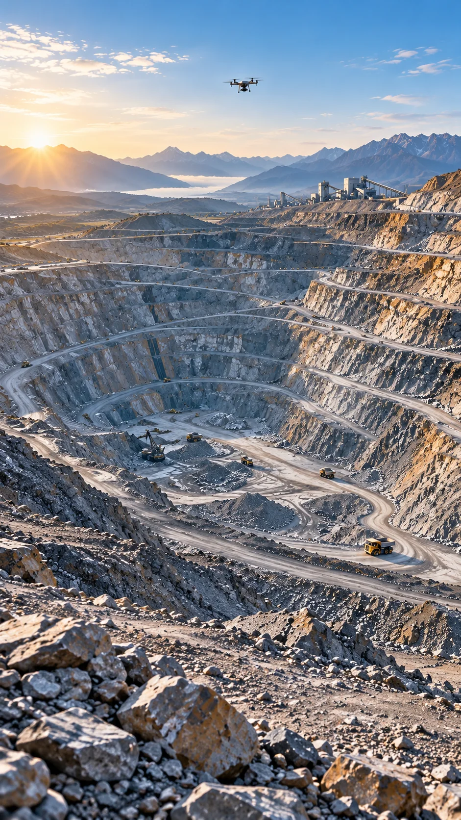
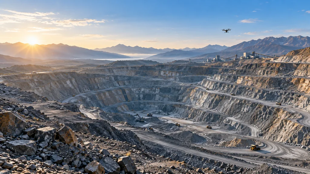
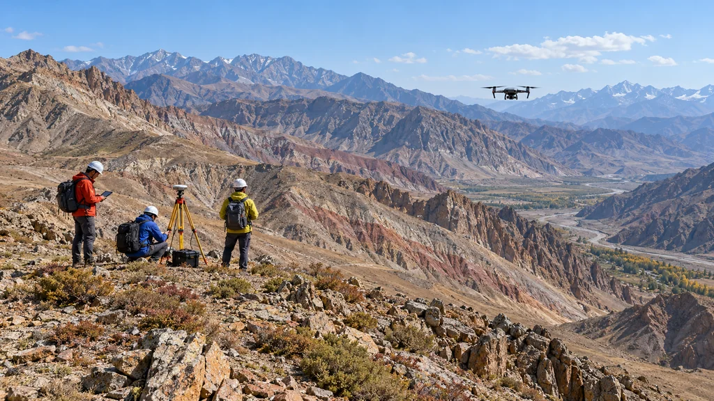
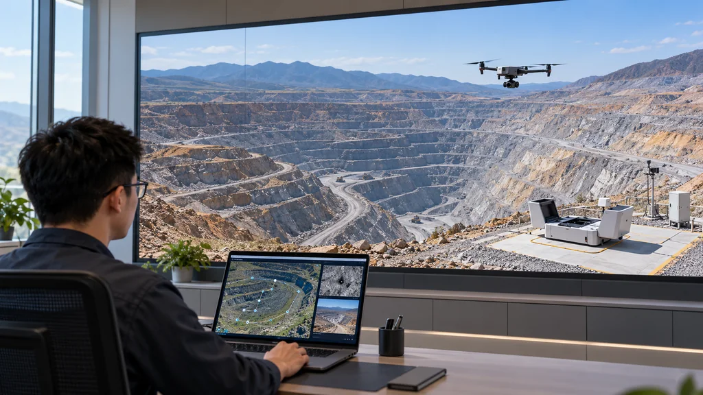
Let equipment handle frequent data collection.Mines are vast and terrain is complex, making sustained, comprehensive site visits difficult. People can focus onassessment and response.
Field challengesChanges in the work
01
Hazardous areas are hard for people to reach
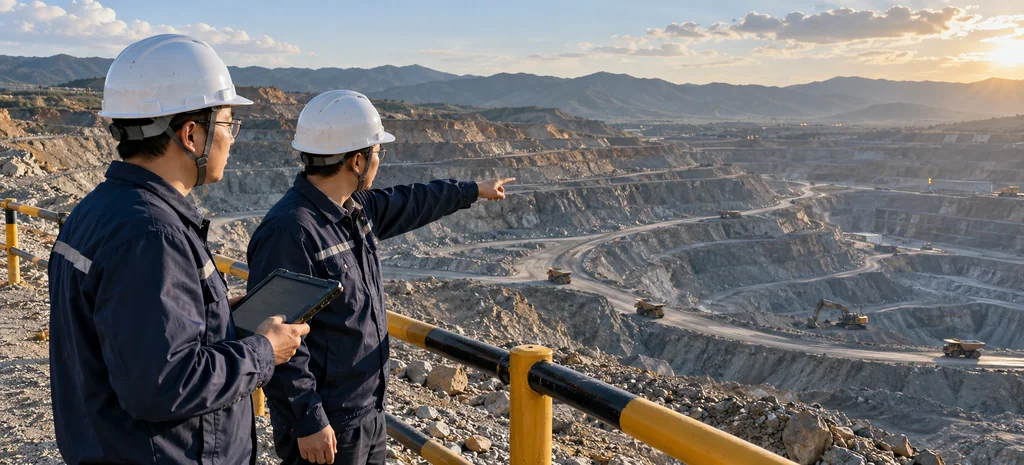
High and steep slopes, tailings facilities and other areas expose people to landslides and falls.
Equipment goes first, reducing exposure
Equipment collects data up close so people can assess risks and plan a response.
Let data arrive firstGive decisions an evidence base
AI assists discovery and analysis; people confirm critical judgments. Field records and results remain linked for review and traceability.
Intelligent operations
From defining a taskto getting results
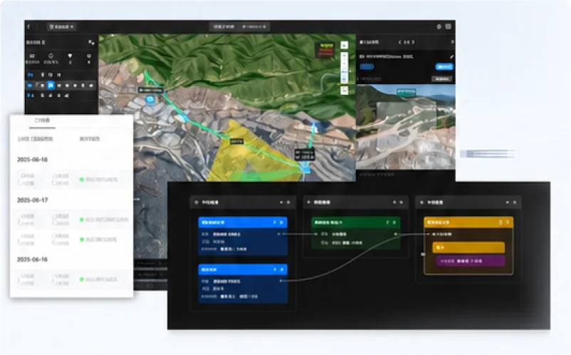
Issue a task in one sentence and organize the work.Understand natural-language requests, organize routes, collection and analysis, and present findings for human confirmation.
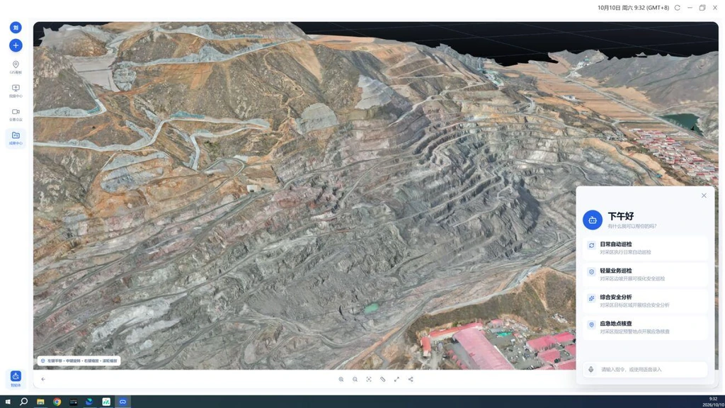
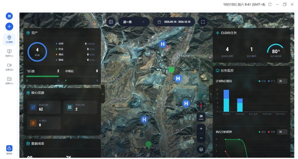
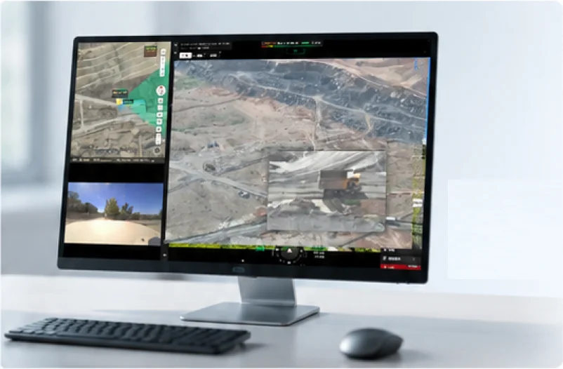
One mine map provides a unified field view.View pits, slopes, equipment, tasks and alerts together, including their distribution and progress.
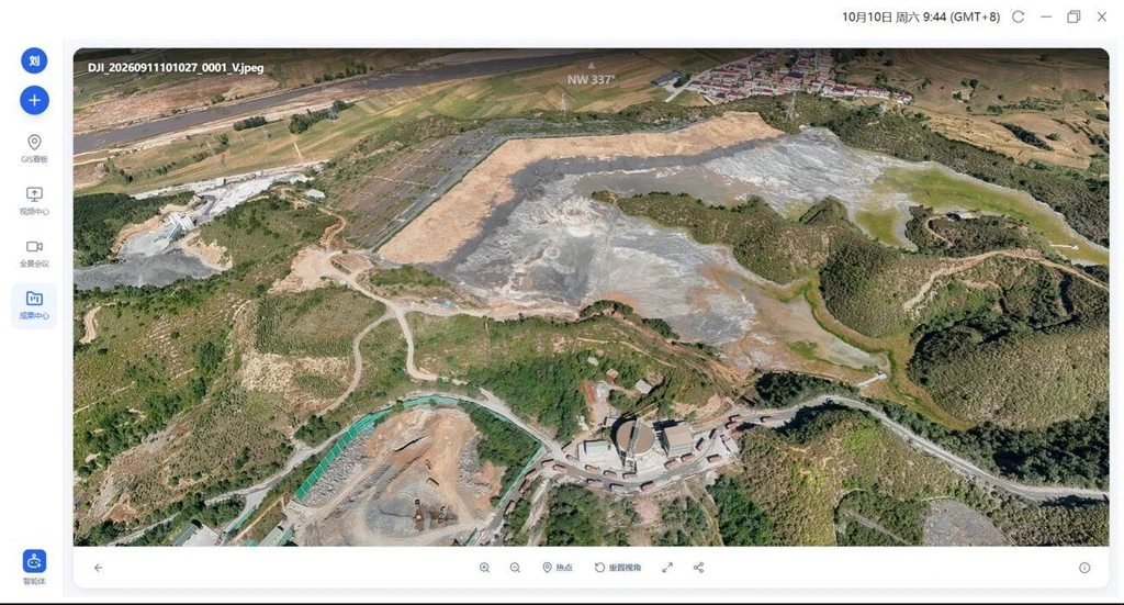
Consolidate results for access whenever needed.Archive panoramas, photos, videos and 3D models together for online review and sharing by task.
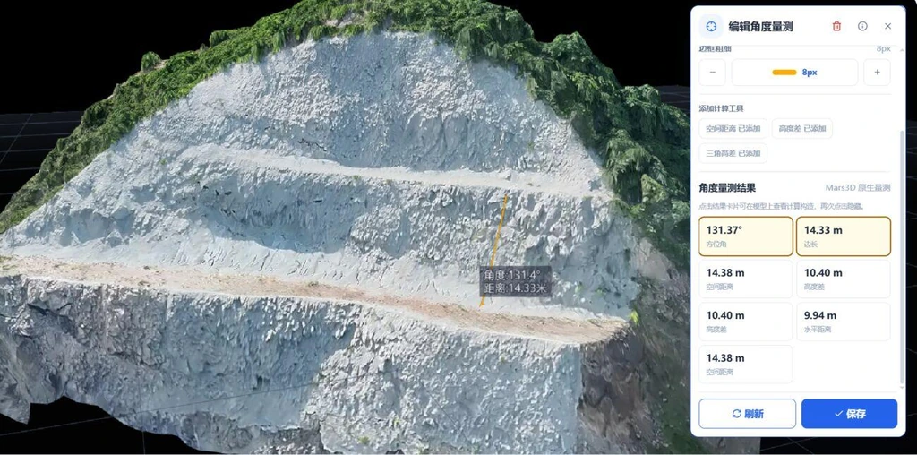
Measure directly on models to support decisions.Measure distances, angles, slopes and volumes on 3D models to analyze terrain change and quantities.
Connect field work from a single task.AI tasks, GIS, results and measurement connect dispersed tasks, imagery and models to operational management.
Available for private or cloud deployment, with integration based on site conditions.
A day with an AI engineer
People decide; equipment reaches the field first
From understanding to execution, from field to results
02:40
An alert triggers a prompt field update
When scheduled inspections or alerts trigger, assess weather, equipment and working conditions before organizing checks, analysis and reporting within authorization and airworthiness limits.
08:15
A temporary task, explained in one sentence
“Check the north slope after the rain.” AI interprets the request and organizes collection and analysis; people make key decisions and provide feedback.
10:00
Retrieve inspection information on request
Retrieve inspection imagery, models and rectification records by time and location for review and verification.
21:30
See the field from overseas
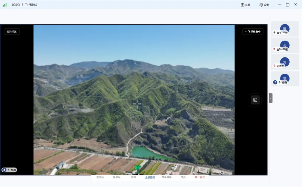
Teams at home and abroad view the same site and assess imagery, models and records together, reducing travel and waiting.
Unattended operations
Unattended operationsKeep the field in view
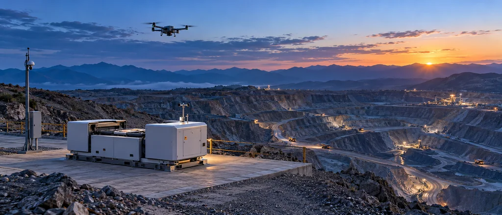
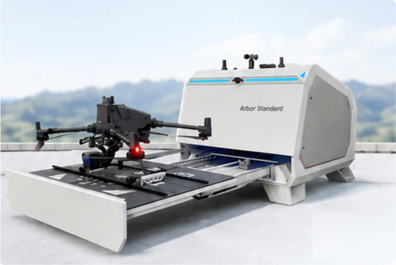
Equipment remains at the mine so tasks can continue.Autonomous flight, charging and data transfer support routine inspections, reducing travel and leaving people more time for assessment and response.
Unattended, ready to respond
Takeoff and landing, automatic charging, data transfer and remote maintenance.
Remote control keeps the field in view
Use a mouse and keyboard with view following, box zoom and point-to-fly controls.
Automated operations save time
Inspection and modeling routes and drag-and-drop workflows connect collection with analysis.
Actual operations depend on weather, equipment, airspace authorization and site conditions.
Across the mine
From exploration to reclamationEvidence for every stage
01 · Exploration and evaluation.Collect base maps, aeromagnetic and multispectral or hyperspectral data to support resource understanding and later evaluation.
02 · Design and planning.Discuss plans against 3D models, live video and images to compare reviews with field conditions.
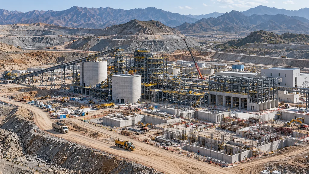
03 · Construction.Collect construction imagery to monitor progress, analyze quantities and report periodically.
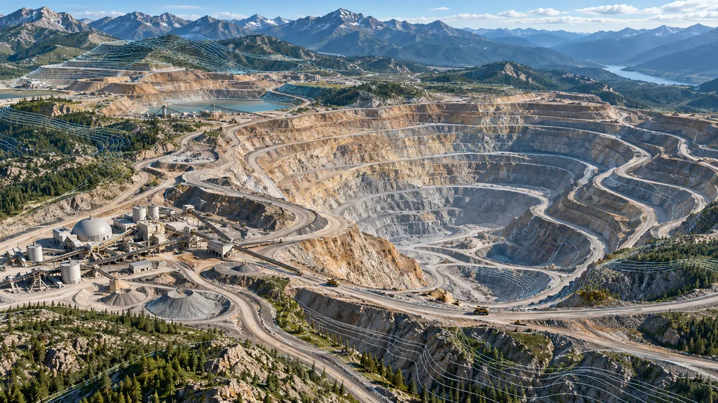
04 · Mining area.Track mining progress, production safety, unauthorized extraction and temporary emergencies.
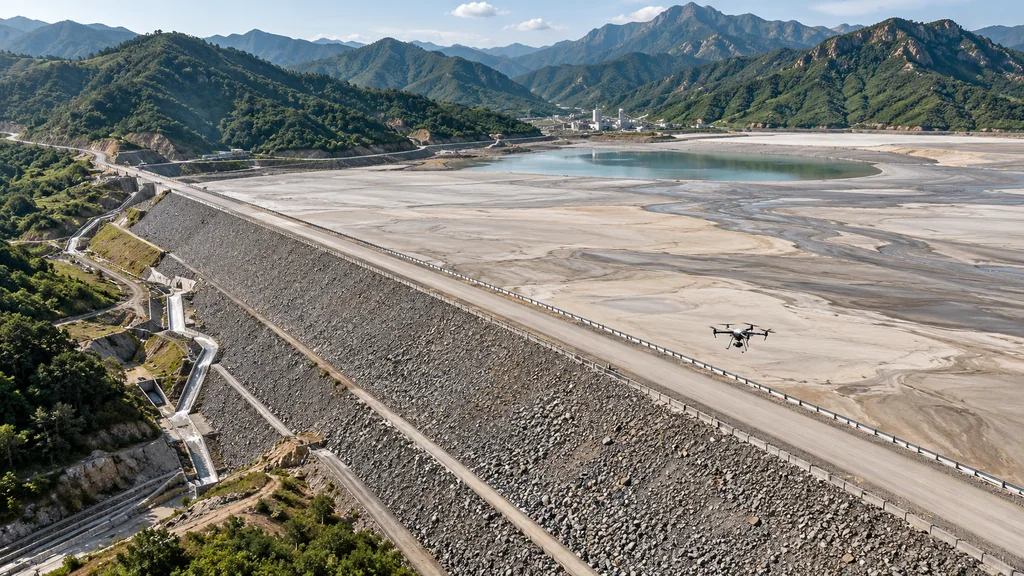
05 · Tailings facility.Inspect dams, beaches and pipelines, assisting detection of seepage, overflow and erosion while retaining change records.
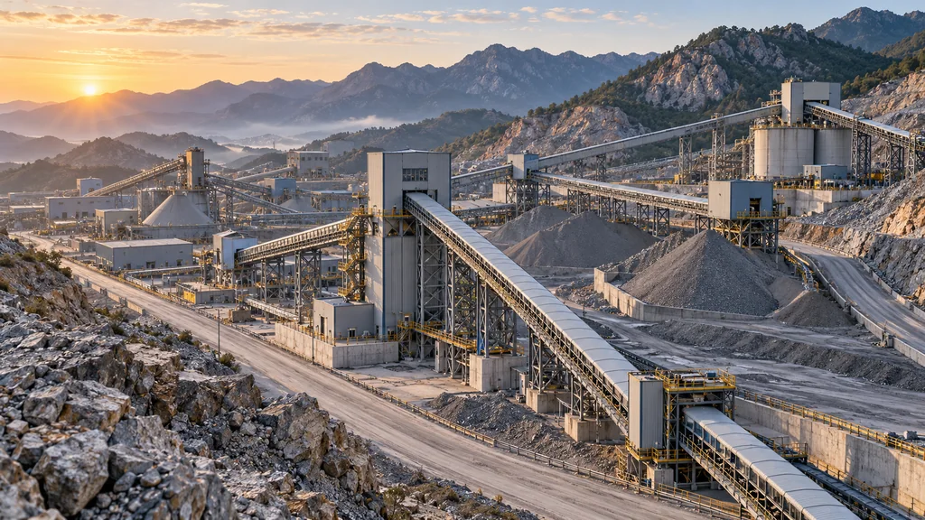
06 · Processing plant.Inspect roads, conveyor corridors, transfer stations and equipment, using field records to support maintenance.
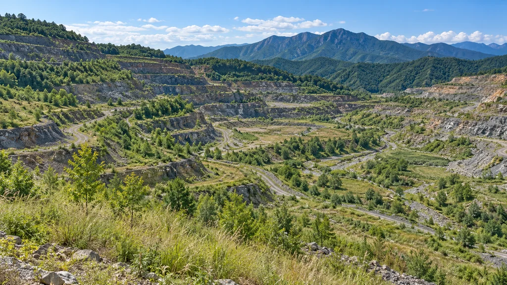
07 · Closure and reclamation.Record reclamation and use historical imagery and models as verifiable evidence for ecological restoration assessments.
One set of field data serves different stages.From exploration and construction through operations and reclamation, build a record that can be viewed, compared and traced.
On-site FDE delivery
Work alongside field teamsMake the system work in practiceWork alongside field teamsMake the systemwork in practice
01
Compliance preparation
Define tasks and deliverables, survey station locations, and support qualification, airspace and insurance preparations.
02
Deployment
Install drone stations, hardware and edge nodes; complete network and power work and connect existing systems.
03
On-site implementation
Engineers work on site for 1–2 months to define scenarios, import historical data, train models and validate use with real tasks.
04
Training and enablement
Provide role-specific training, manuals and support for management, field teams and operations so teams can work independently.
05
Long-term operations
Upgrade and improve models, review value quarterly and incorporate feedback into the product.
On-site FDE support is accountable for implementation.Define tasks and deploy with field teams, then validate with real work. Turn field experience into capability and feedback into product improvements.
Mining in practice
Mining in practiceBring results back to the field
Dadi Yuantong Group · remote mine viewing project material
A global view starts with seeing the same site.Dadi Yuantong's Chengde mining area is deployed for cross-regional management. Overseas leaders can view the domestic site remotely and assess results together.
4 unitsUnattended platforms
8+Application scenarios
15+Collaborators
Routine mining-area inspection
2 hours→15 minutes
Emergency response arrival
30 minutes→3 minutes
International mine viewing
At least 2 days→As fast as 3 minutes
Efficiency figures are reconstructions or estimates of field operations, not independently audited or representative of every mine; results depend on site conditions and agreements. Platform, scenario and personnel figures are from company project materials.
Zhengtong tailings facility · solution concept
Routine inspectionMake changes traceable
Illustrative solution · delivery status and public claims require verification
Record the site continuously, from dam to beach.Drone inspections of dams, beaches and pipelines help identify seepage, overflow and erosion, preserving imagery and change records for human review and follow-up.
Connect discovery to review and response.Use field imagery, models and records for shared assessment; authorized personnel confirm risks and actions.
Technology foundation
Core capabilitiesValidated in real scenariosCore capabilitiesIn real scenariosValidated
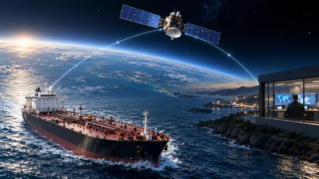
Keep people remote and bring equipment closer to the field.From robot teleoperation and app-based inspection to satellite links between ship and shore, low latency, resilience to weak networks and collaboration support remote work. Figures reflect their respective test conditions.
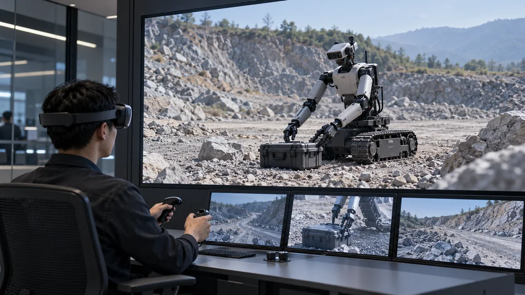
Remote control room↔Tracked humanoid robot↔Hazardous worksite
CASC First Academy, Institute 18
People stay remote Robots reach the field
Teleoperate a tracked humanoid robot from a control room for hazardous work such as explosive disposal and blast charging.
148 ms
Video latency · 4K 60fps Jitter <30 ms · network switching <2 s
Mixed-reality teleoperation validation for special-purpose robots, according to company acceptance materials.
Use a remote app to organize tasks, execute automated inspection and receive results. The networked capability maintained control under 30% packet lossconditions,VR end-to-end <200 ms,one controller, multiple viewers; demonstrated at MWC25.
Ship endpoint↔Satellite relay↔Shore endpoint
China Merchants Energy Shipping · Satellite ship–shore communications
Connect ship and shore by satellite Stay in touch across oceans
Connect ship and shore through a satellite network. With an uplink of 60–100kbps、RTT approximately 1300 ms、bursty packet loss of 77%calls remained possible; terminals and conferencing systems obtained CNAS test reports。
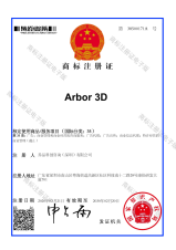
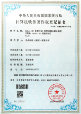
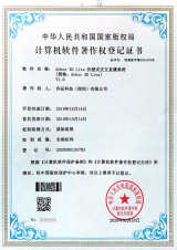
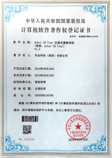
Core technology and intellectual property
6+Core technologies
7+Patents
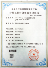
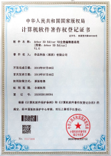
25+Software copyrights
Patents and trademarks
Software copyrights
Value
Understand the investmentEvaluate the value
Annual system value for a medium-sized mine
400–1500 million CNY / yearSafer, more efficient, more sustainable
Conservative company estimate · subject to verification at the mine Not a guarantee of returns
Target investment payback period
≤24 monthsCompany target; actual results require mine-specific verification
Safer, more efficient, more sustainable.Let equipment handle frequent collection and people focus on assessment and response, applying field data to production continuity and cross-regional collaboration. Examine the sources of value and assumptions together.
RMB 4–15 million per year is the company's conservative estimate of system value for a medium-sized mine; 24 months or less is the target payback period. Both require site-specific verification and are not a return guarantee.
Safer
Reduce accident losses
Over 5 million RMB
Production stoppage alone in a significant accident
Reduce accident likelihood and avoid major stoppage losses.
More efficient
Improve production continuity
100,000–500,000 RMB
One day of downtime for shovels, haul trucks or crushers
Real-time awareness and alerts help reduce equipment downtime.
More precise
Support informed resource use
Around 5 million RMB
Estimated annual loss at a medium-sized mine per 1% increase in dilution
Detailed detection and dispatch support lower dilution.
The loss amounts above are industry reference ranges cited in the brochure. They explain the value assessment and do not mean the system can prevent all losses or guarantee returns.
Optional managed operations RMB 150,000–250,000 / mine / year
Tailings facility package
RMB 750,000–1.2 million one-time + RMB 200,000–300,000 / year
For class I, II and III facilities, including platform license and annual subscription.
Indicative pricing depends on mine scope and agreed modules; hardware is passed through at cost, and actual configuration and fees depend on the project agreement.
Qiaopin Technology · Arbor Standard
Start with one field taskValidate the value
An AI-native mining intelligence company Connect tasks, equipment and the field so systems fit everyday work
 Arbor