 Arbor
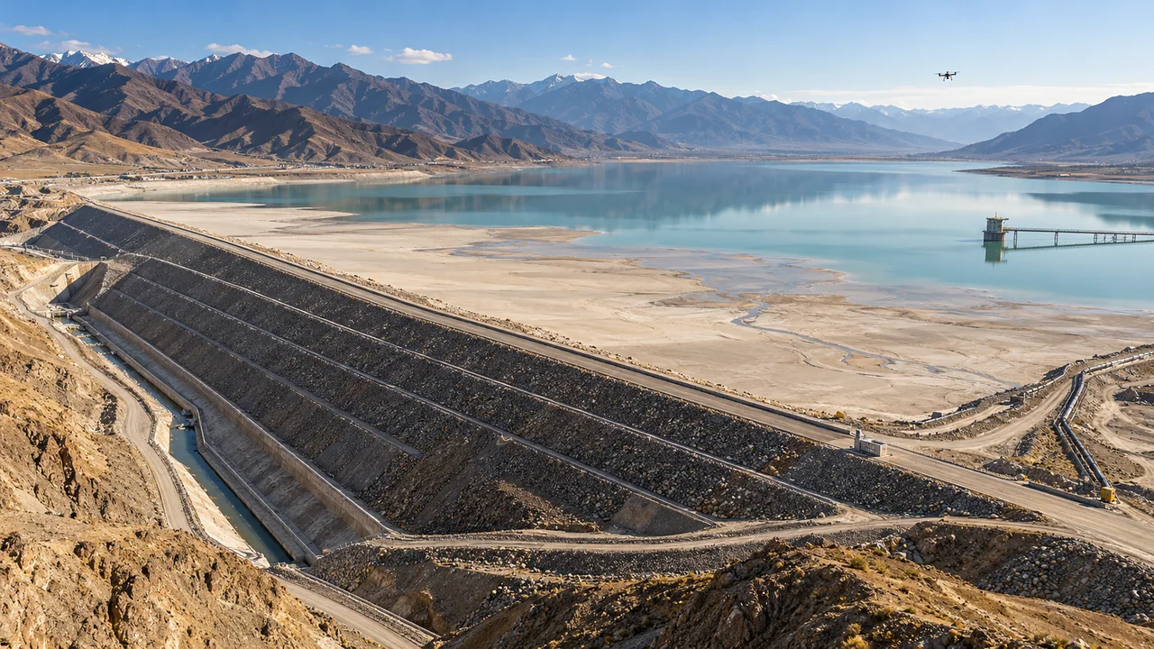
Mining · AI-native tailings facility management
See the entire tailings facility
Make decisions backed by evidence
Specialist monitoring, video, drones and AI working together
From a signal to site evidence and the outcome of an action
Highlights
Signals from across the facility
In one shared site context
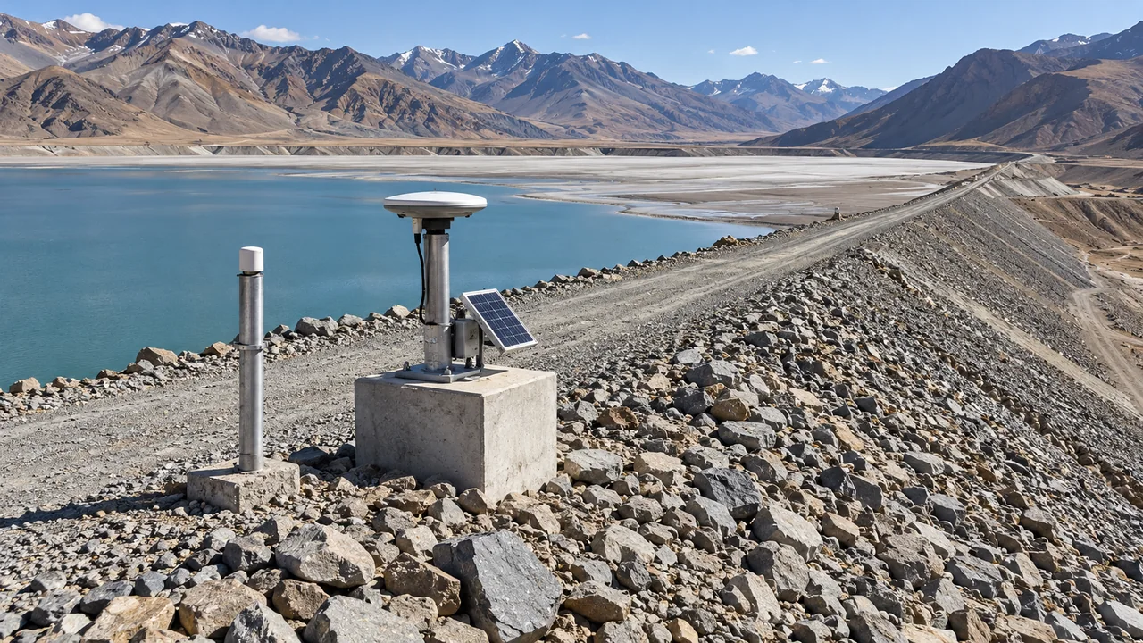
Professional monitoring
Understand the signal
And the site around it
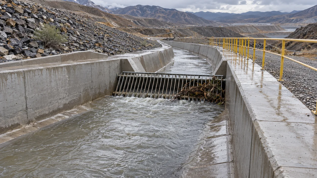
Video verification
Receive an alert
See what has changed
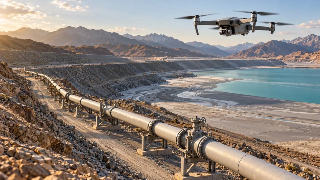
Drone inspection
Where fixed views cannot reach
Drones fill the gaps
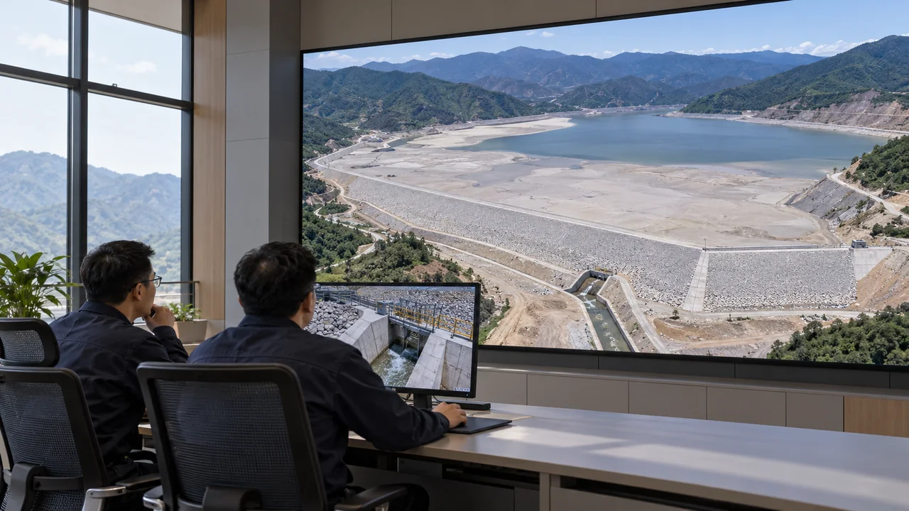
AI collaboration
Ground every next step
In evidence
Specialist monitoring · One view of the facility
One dam section
Understand every signal
Start a post-rainfall review with location. Examine displacement, the phreatic surface, pond level and rainfall against the same engineering object and timeline.
Trace a monitoring point to its engineering object, source data and time period
See the trend
And the location of its monitoring point
Associate surface and internal displacement, the phreatic surface and manual comparison measurements with dam sections and cross-sections. Retain each source separately for specialist cross-checking.
Conceptual engineering relationships · Not a measured cross-section or safety thresholds
View rainfall and water level
Alongside the beach
Examine rainfall, pond level, exposed-beach length and slope together, checking measurement methods and capture times when reviewing changes.
Illustrative normalised relationships · Not measured data
Follow the facilities
To their operating status
Link flood-discharge inlets and outlets, tailings and return-water pipelines, and pump stations to existing pressure, flow, operating-condition and inspection records.
Trends are normalised interactive illustrations, not measured data. Actual series retain units, sources, timestamps and data-quality status.
Specialist alerts remain governed by the original systems and approved rules. Present data-quality issues, equipment faults and specialist warnings separately rather than combining them into an untraceable safety score.
Video verification
Receive a signal
See its actual site context
Monitoring identifies where attention is needed. Fixed cameras provide site context for comparison with earlier footage and specialist data.
Identify the initial clue
Fixed cameras observe flood-discharge inlets and outlets, perimeters and key facilities, retaining the locations, screenshots and time periods of suspected changes.
Then cross-check the evidence
Compare footage with rainfall, water level and historical inspections. Collect more imagery if evidence is insufficient; distinguish image anomalies from engineering anomalies.
This image and its markers are AI illustrations, not detection results or evidence of actual flood-discharge capacity. Validate video-AI applications with on-site samples.
Drone inspection
Beyond fixed camera views
Drones complete the evidence
People remain remote. Plan capture around dam slopes, beaches, flood-discharge facilities and pipelines, linking inspection results to specific engineering objects.
A critical location
Viewed more closely
Capture additional close views of flood-discharge outlets, pump stations and priority dam sections to give suspected findings clear site evidence.
Along a pipeline
See changes along the route
Inspect tailings and return-water pipelines and the perimeter, focusing on joints, valves, supports and low-lying areas, then cross-check operating data.
Record an entire area
Preserve each change
Capture dam slopes, beaches and the facility area, linking verified orthophotos or 3D survey outputs to establish a baseline for later reviews.
Routes illustrate the scenario. After specialists confirm weather, airspace, equipment and task conditions, the drone operations system executes the task and returns actual status.
AI collaboration
A request for post-rainfall review
Starts a chain of evidence
Go beyond a short answer. Identify evidence and missing information for a specific dam section and period, prepare a reviewable plan, and follow the actual results.
For review after this rainfall”
Define the question first
Identify the dam section, rainfall period and review objective, and check that the engineering object and time are clear.
Gather evidence with its provenance
Align trends, video and historical inspections, clearly marking missing or outdated data.
Identify what the next step still needs
Recommend close-up imagery of the discharge outlet and check site conditions. Set out objectives, required outputs and confirmation points in a plan.
After confirmation, follow the actual outcome
Use applicable tools after an authorised person confirms the action. Verify execution using task receipts and associate outputs with the human review record.
This demonstration illustrates the proposed interaction. AI does not autonomously change specialist thresholds, fly aircraft, issue safety conclusions or clear alerts. Authorised personnel confirm important actions.
Action and verification
See the change
And the outcome of the response
Follow one discharge outlet from suspected debris to additional evidence, on-site action and specialist acceptance. Trace every step back to the evidence available at the time.
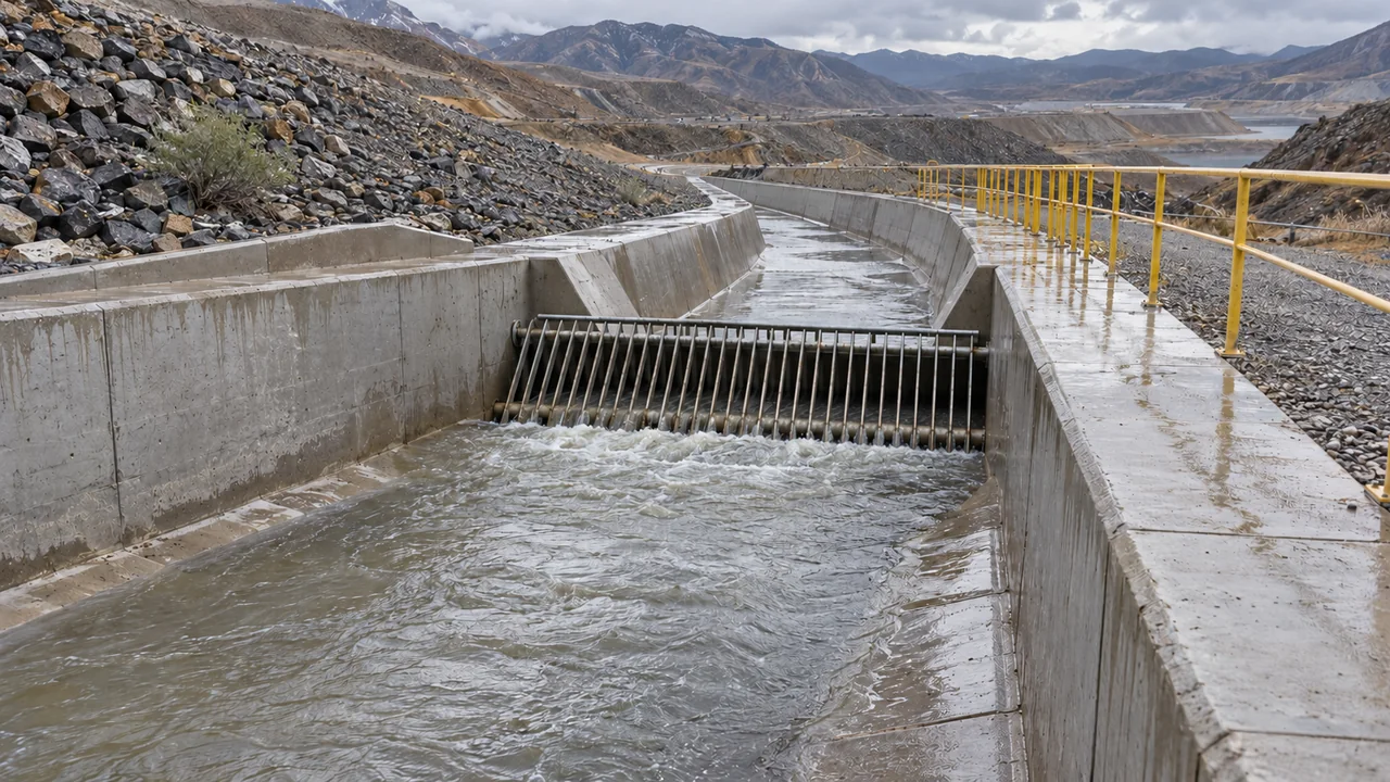
- 01 / Discovery
Retain the original finding
Save the engineering object, source, time period and suspected area together to establish what happened.
- 02 / Verification
Complete the evidence
Combine specialist monitoring with additional imagery. If evidence is insufficient, capture more first. Retain the reasoning even when a suspected issue is not confirmed.
- 03 / Action
Match the response to site conditions
Assign the responsible person and requirements; site staff return records of the process and outcome.
- 04 / Acceptance
Confirm completion from the outcome
After specialist verification, close the issue under the applicable procedure and archive imagery, opinions and versions together.
Business value
Every review
Informs the next
Help managers see the whole facility, specialists examine evidence and site personnel understand the next action. Work around the same engineering object to reduce time spent piecing together information across systems.
Repeated searching
Use real event records to measure evidence-gathering time and observe any reduction in repeated queries.
Evidence for decisions
Check sources, timestamps, engineering objects and review comments, retaining evidence integrity.
Who acts next
Observe feedback, additional evidence, acceptance and returns for revision in actual response workflows.
How it was handled last time
Build a continuing history of imagery and response experience around each engineering object.
These are possible project evaluation dimensions. Validate actual effects against site baselines and trial results. The solution covers tailings facilities associated with open-pit and underground mines; define scope according to the actual engineering objects.
Must existing monitoring and video systems be replaced?
Reuse existing equipment and specialist systems where possible. Verify interfaces, permissions and data, establish shared objects and spatial relationships, then progressively integrate drones and AI collaboration.
Can we start without a complete 3D model?
Start with a verified 2D base map and object catalogue, adding 3D outputs later. State coordinate or quality limitations rather than inventing precise locations.
Can drone imagery directly determine seepage or dam stability?
No. Imagery helps observe visible erosion, ponding and wet traces. Specialist judgement also requires monitoring, site verification and applicable procedures, and must be made by authorised personnel.
Start with one facility and one review
Connect existing systems
Prove the real workflow
Inventory site conditions and data, and choose the first scenario
Validate first, then expand across the facility