Views from the sky, experiences on the ground

Arbor|XR + AI

AI-native tourismDrone solutionAI-native tourismDrone solution

Views from the skyExperiences on the ground

Tourism highlights

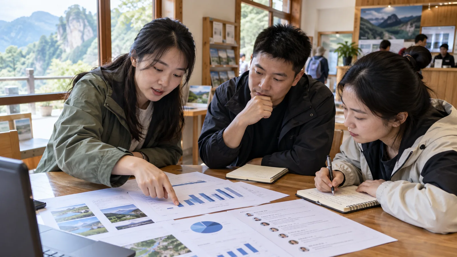
From visitor experience to complete operations

Industry challenges

Views from the skyExperiences on the ground

Turn scenery into an experience people can join

Turn scenery into an experience people can join

01

Access barriers

Conventional helicopter sightseeing involves substantial investment and ticket costs that can limit participation.

Visitors

Visitors watch on the ground; participation is designed around the venue and reception capacity.

Explore the capability
02

Limited ground-level views

Paths and viewpoints rarely reveal the entire destination.

Aerial panoramas, ground participation

Bring hard-to-reach perspectives to visitors through ground-based viewing.

Explore the capability
03

Scenery and narration are disconnected

Seeing the landscape does not always reveal its cultural context.

Waypoint narration, stories in the landscape

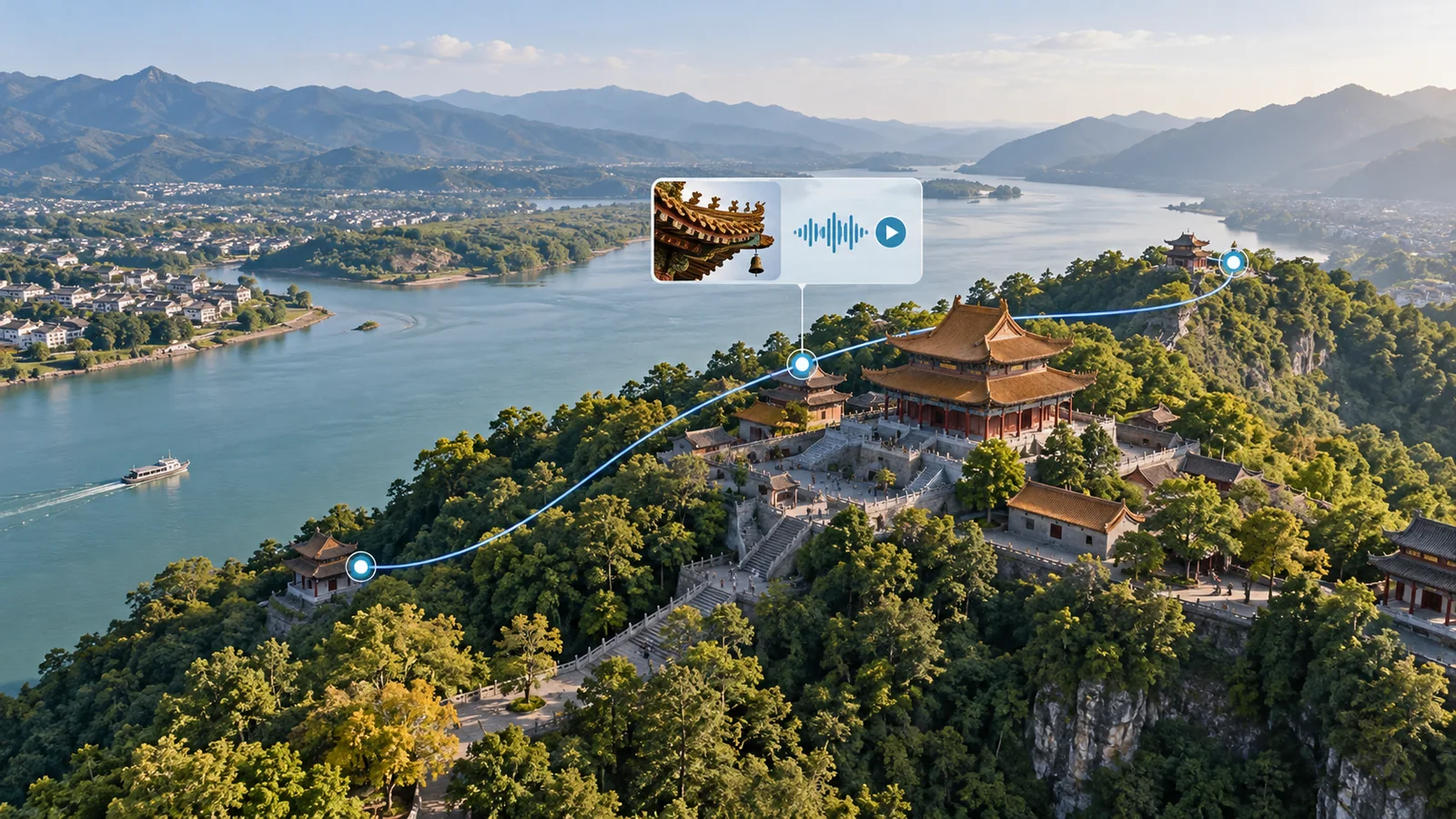
Connect locations with cultural interpretation to give every view context.

Explore the capability
04

Operational coordination

Flight, content and reception often run separately, leaving staff to connect the experience.

Shared viewing, coordinated sessions

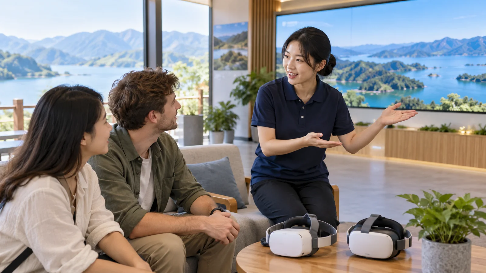
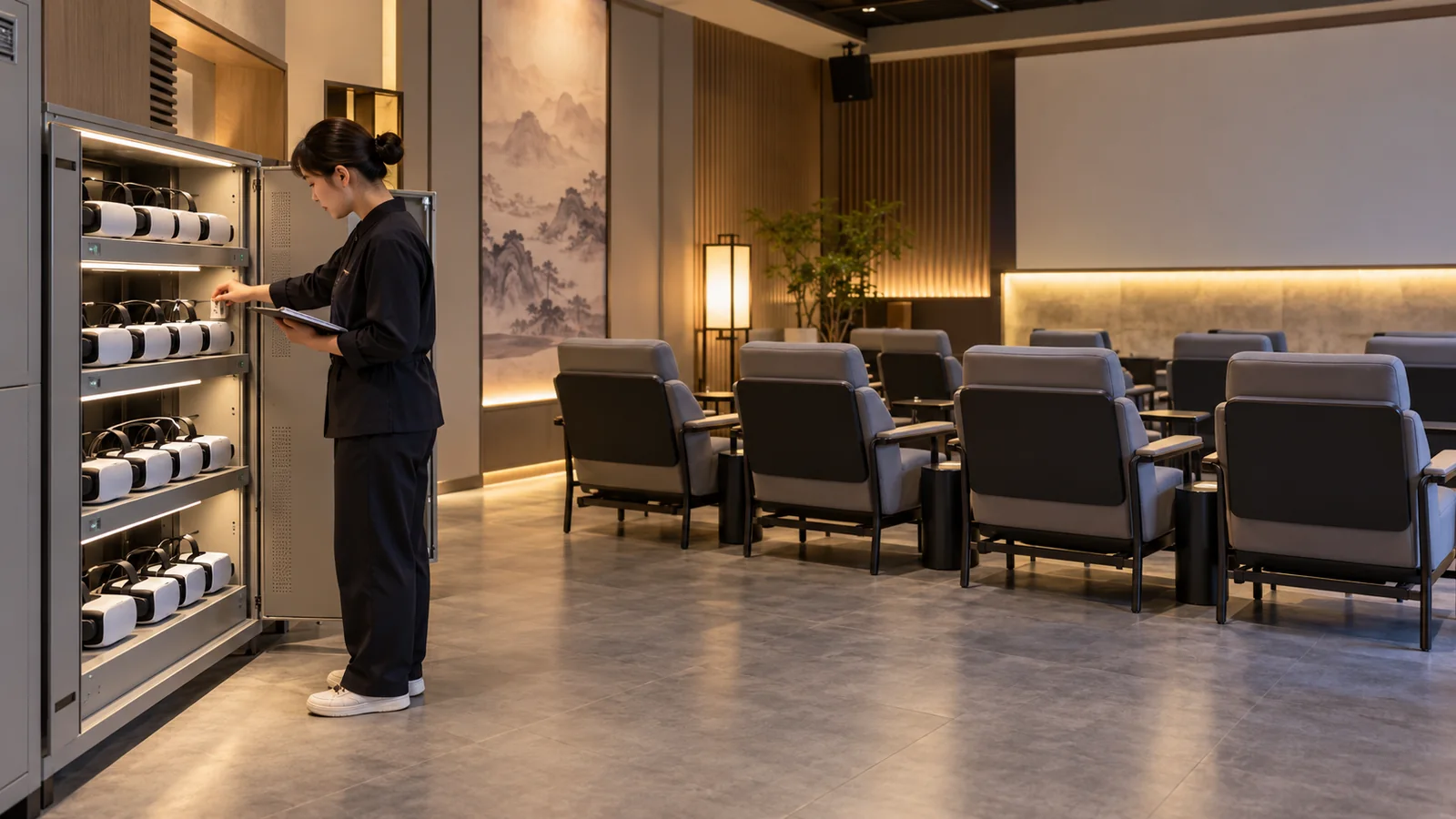
Coordinate headsets, reception and entry and exit within daily operations.

Explore the capability

Aerial views, shared by more peopleScenery and narration, one journey

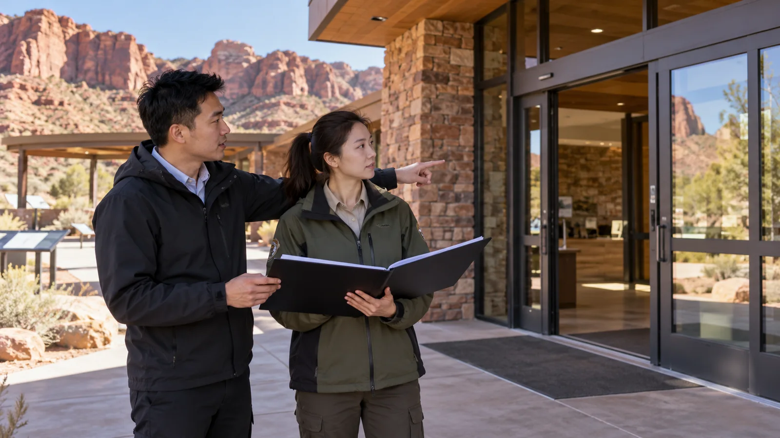
Visitors watch on the ground. Authorized personnel manage flights; airspace, weather, network and site conditions determine availability.

Arbor AI

Bring routes, content and sessionsTogether in one place

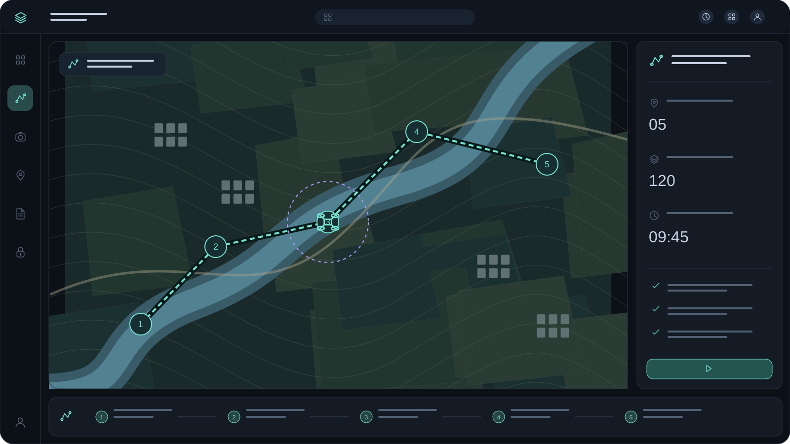
Tasks and routes

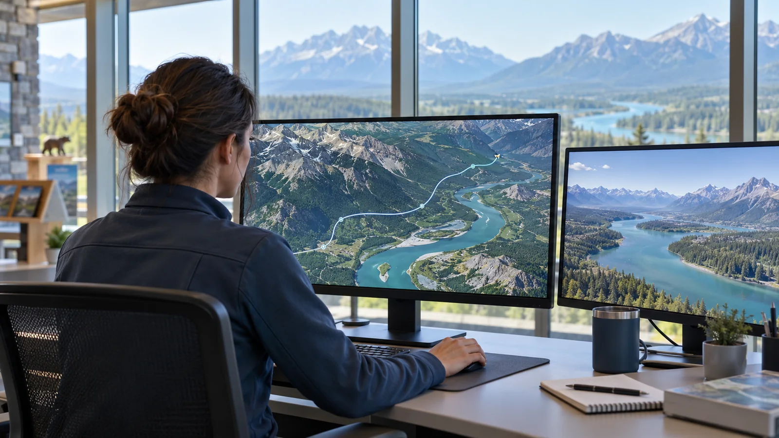
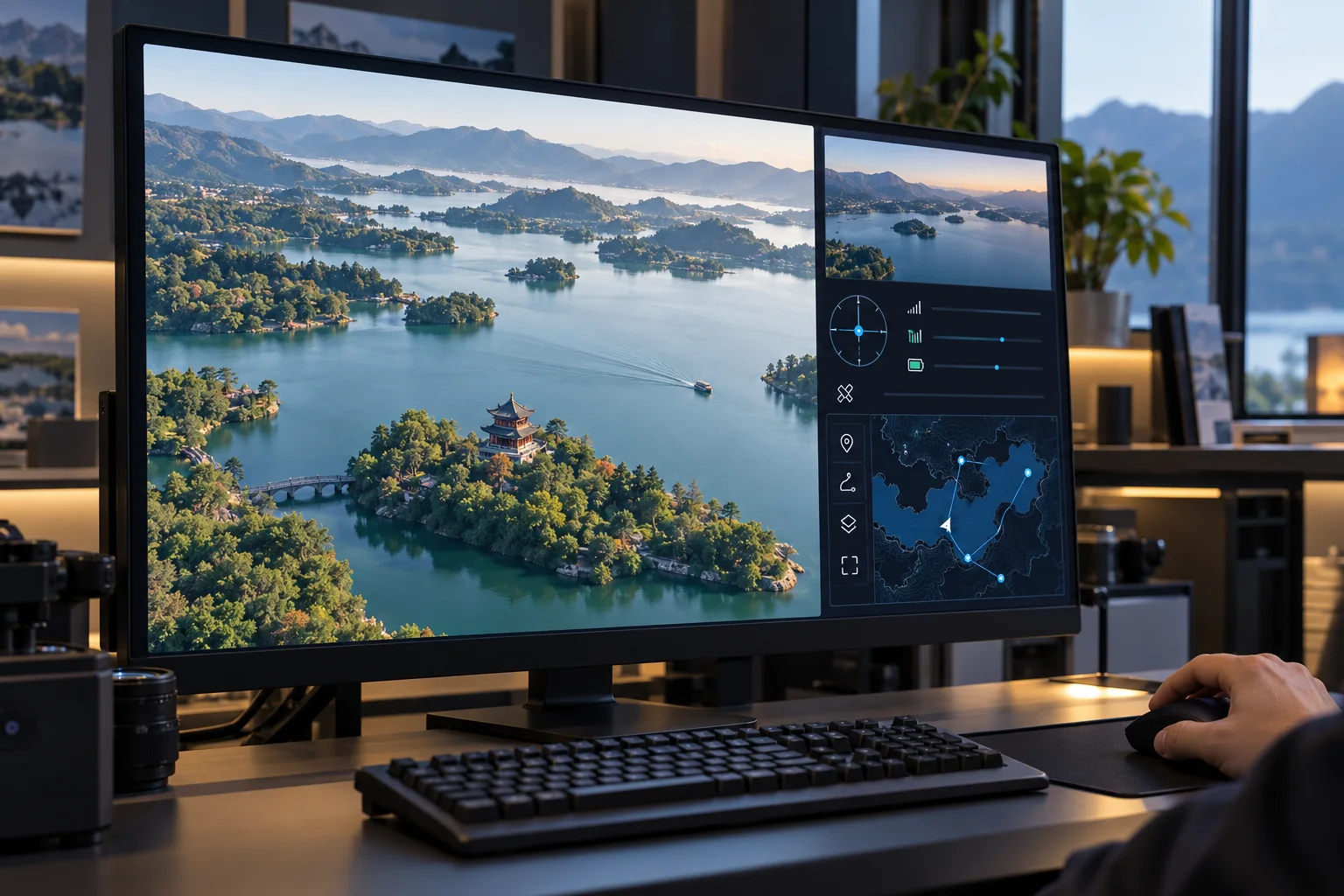
Plan routes, waypoints, narration and session content together.

Illustrative tourism configuration. Actual functions and interfaces are confirmed per project.

Follow a visitor session

From flight task to complete experience

Before opening

Visitors watch on the ground. Authorized personnel manage flights; airspace, weather, network and site conditions determine availability.

Before opening

01

Before opening

Check weather, network, devices and content before confirming the session.

Entering the experience

02

Entering the experience

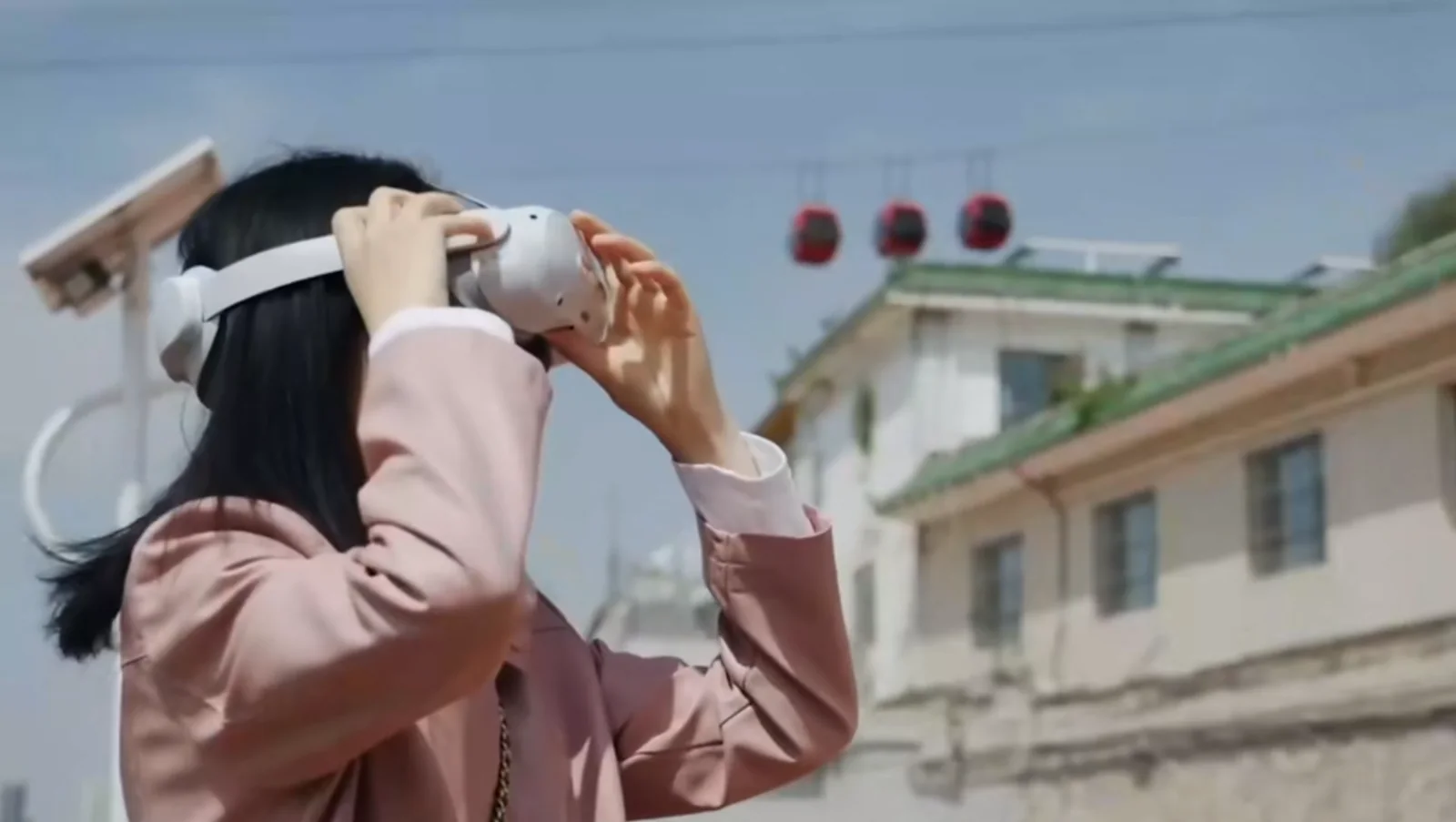
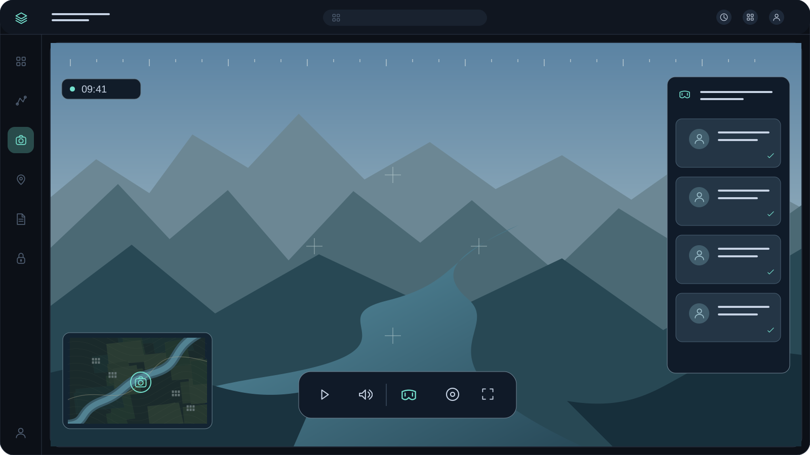
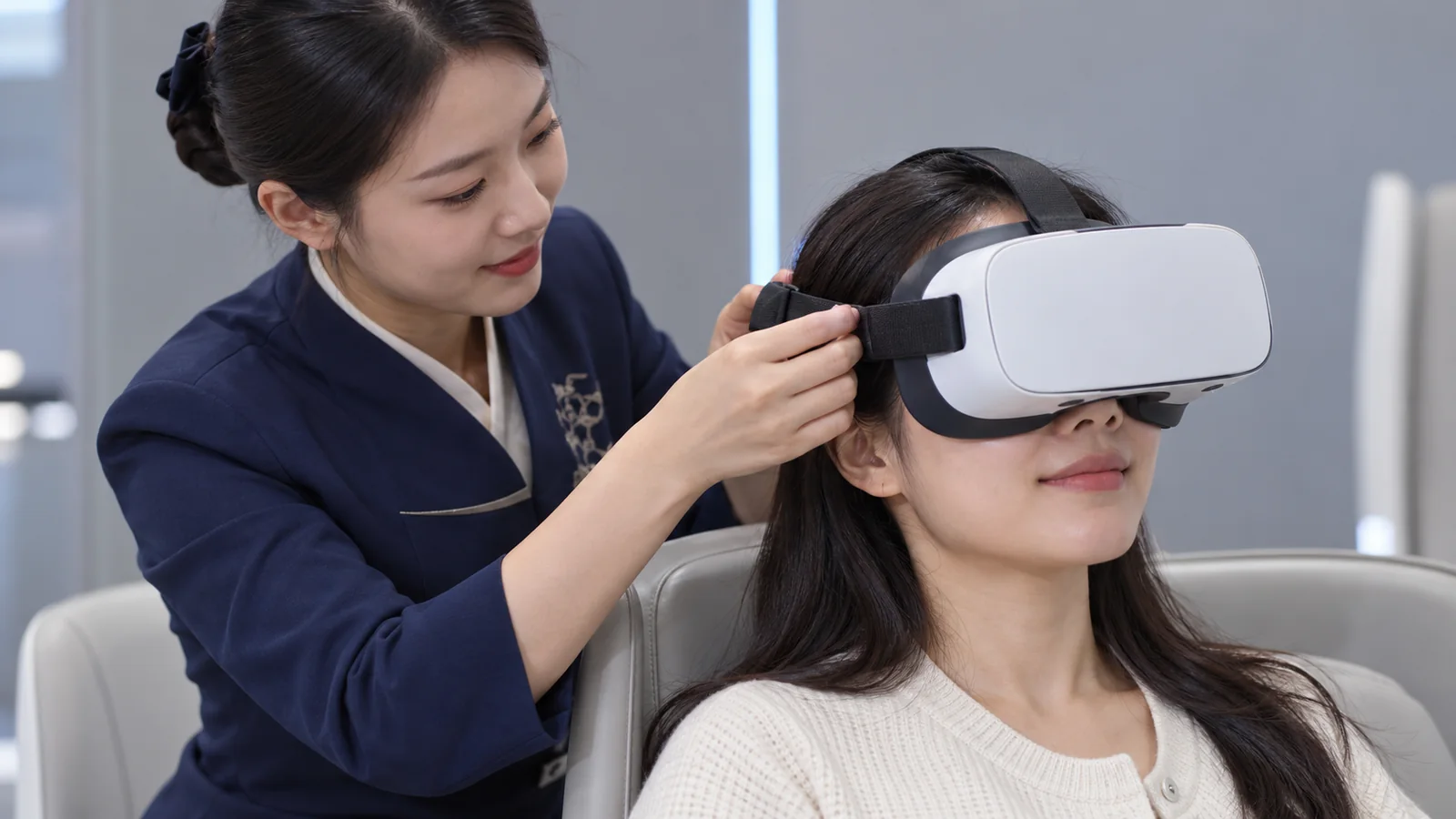
Staff help visitors put on headsets for panoramic viewing on the ground.

At scenic waypoints

03

At scenic waypoints

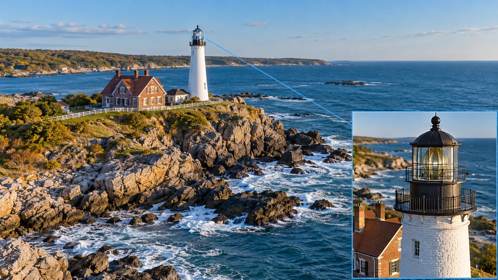
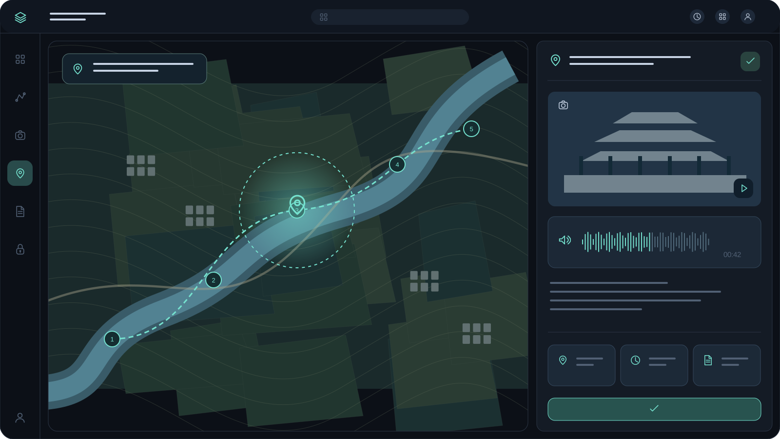
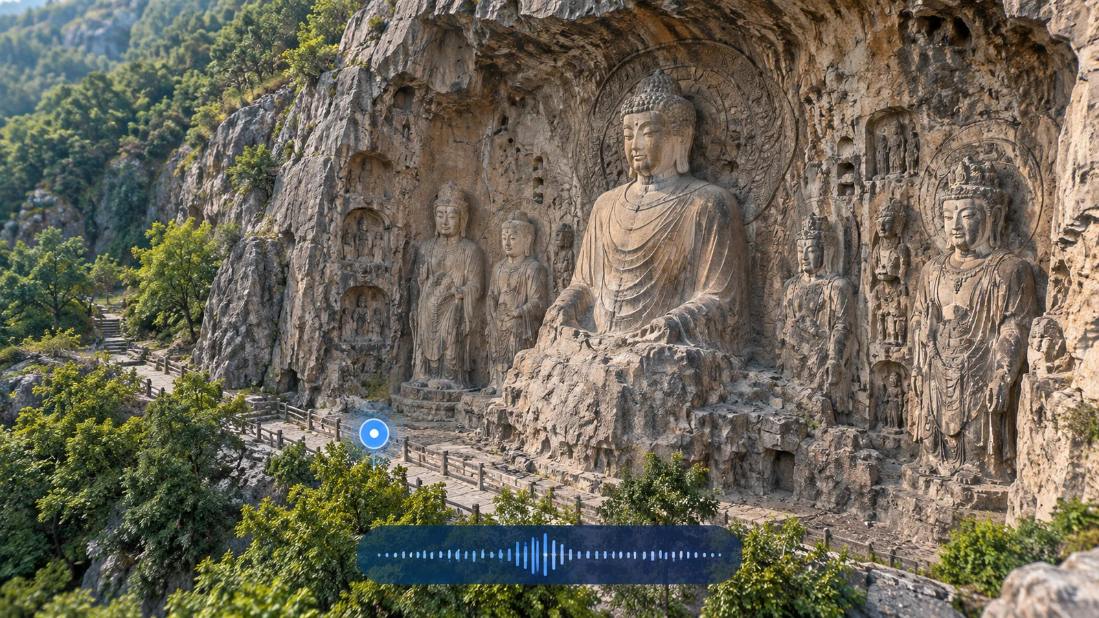
Trigger narration by GPS waypoint and show details through gimbal picture-in-picture.

After the session

04

After the session

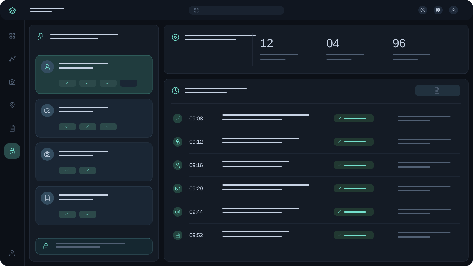
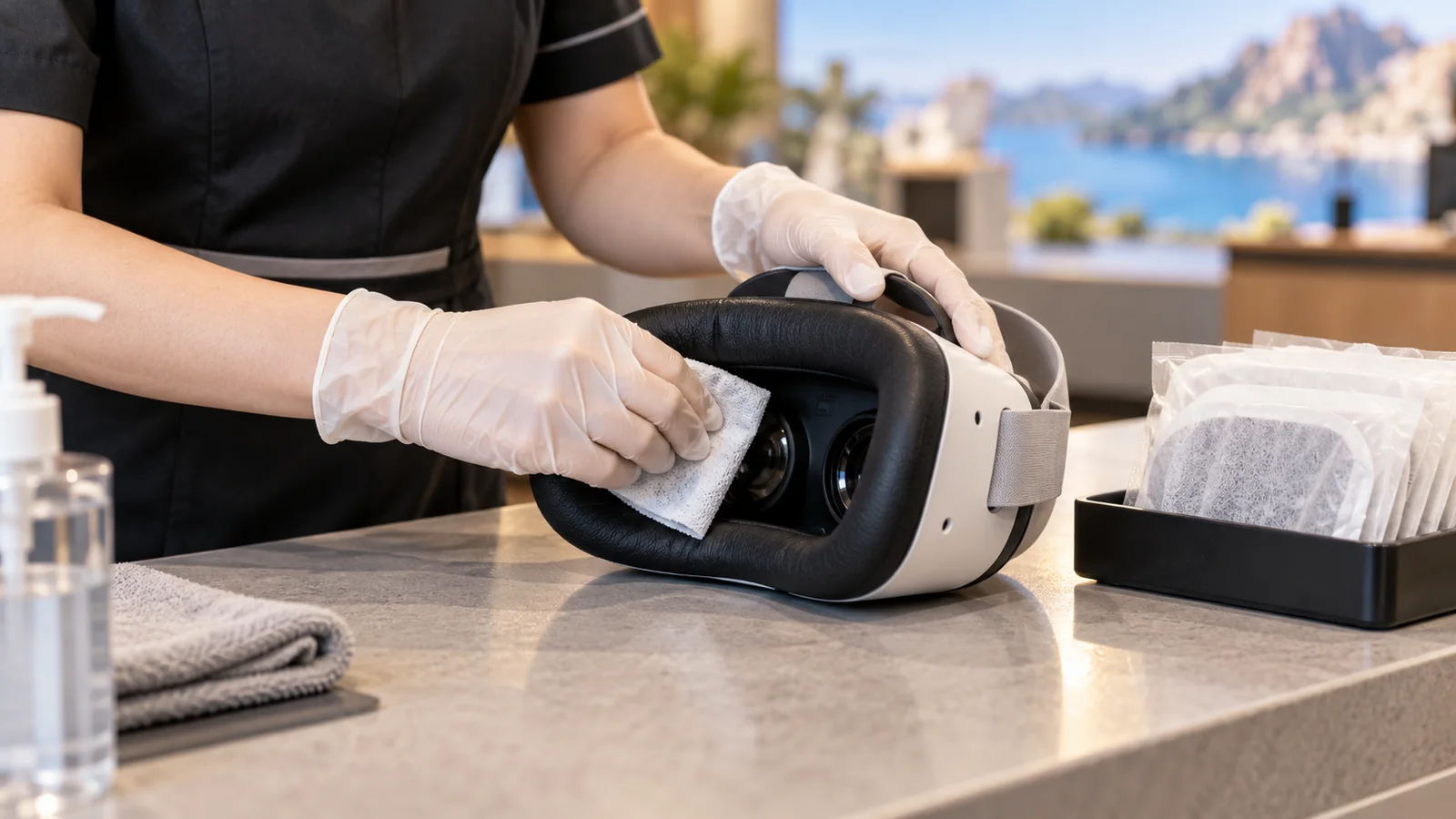
Manage exit, clean devices and record issues and visitor feedback.

Automated drone execution

Orderly aerial captureCoordinated remote viewing

Orderly aerial capture

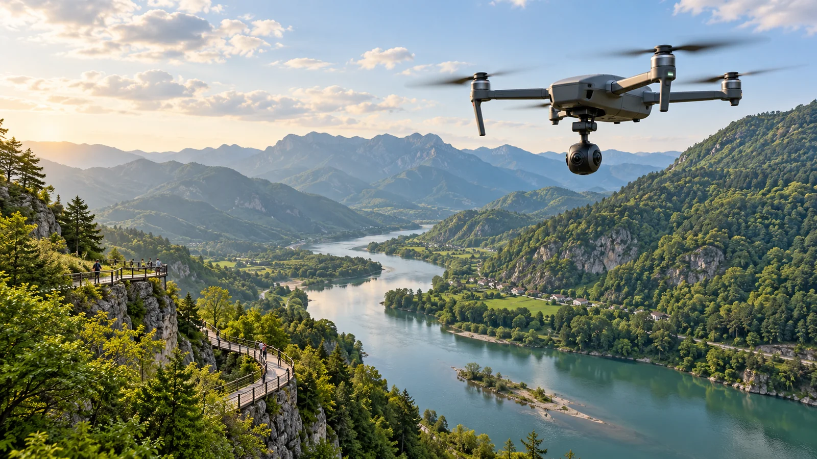
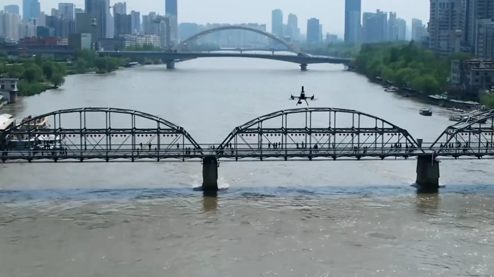
Drones transmit aerial views while visitors watch immersively on the ground. Waypoint narration and on-site service connect the experience.

Aerial capture

Aerial capture

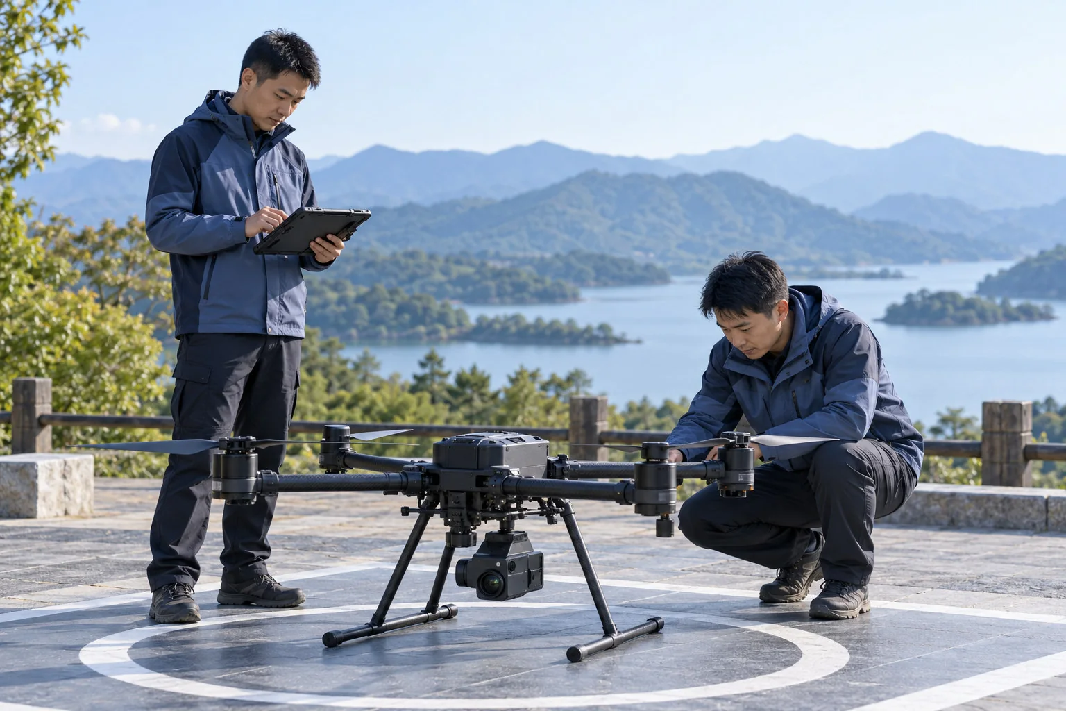
Authorized personnel check airspace, weather and equipment before panoramic capture.

Remote monitoring

Remote monitoring

Staff follow imagery and position, coordinating flight with the ground experience.

Route-based execution

Route-based execution

Follow approved routes; staff handle exceptions. Visitors do not operate the aircraft.

Select capture, network and viewing equipment for the project. Validate aircraft, payload and system integration as a combination.

Application scenarios

Different destinationsOne experience framework

Drones transmit aerial views while visitors watch immersively on the ground. Waypoint narration and on-site service connect the experience.

FDE support from planning to operation

Start with site conditionsBring the experience to lifeStart with site conditionsBring the experience to life

FDE support from planning to operation
  1. 01

    Site survey

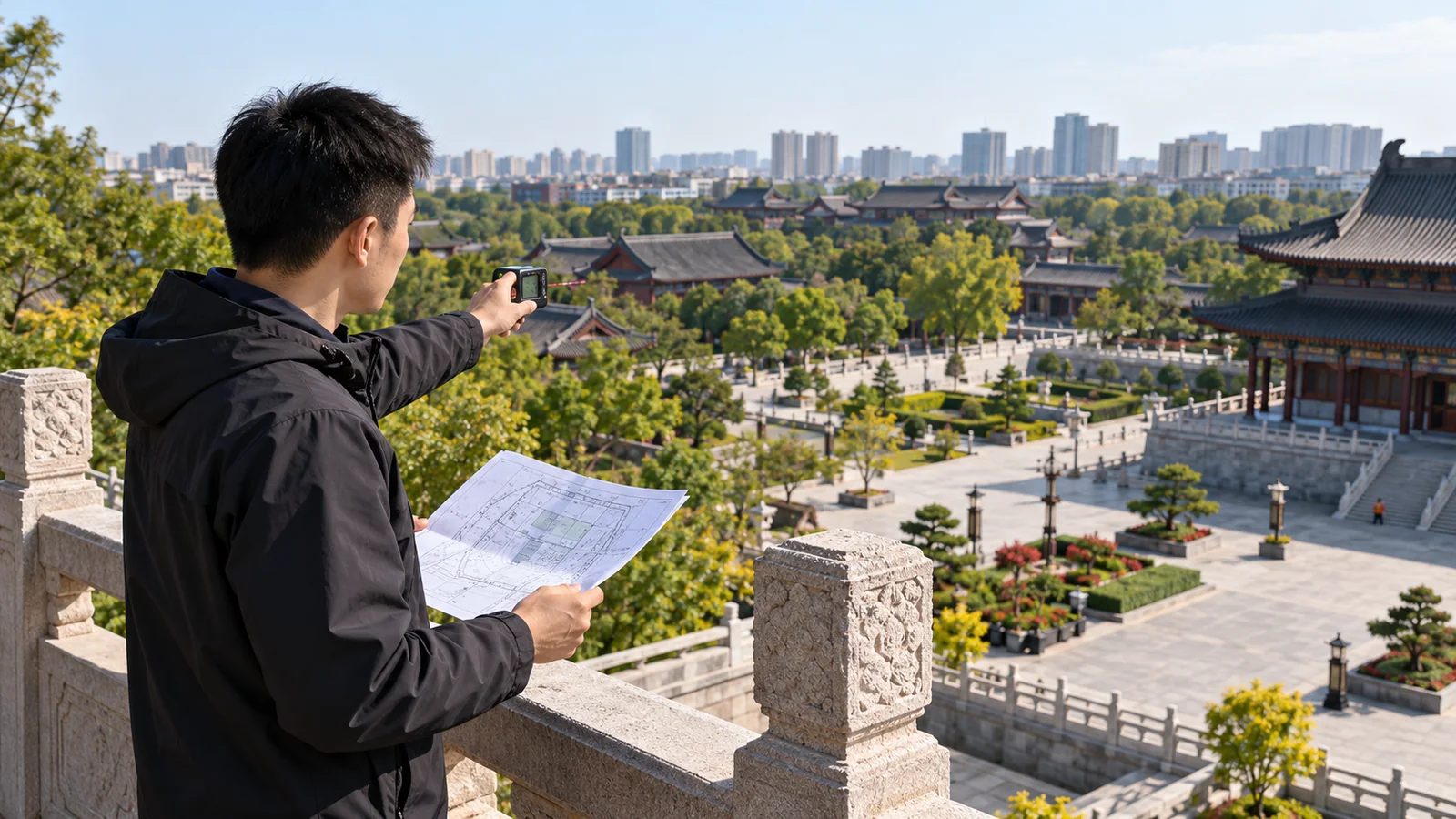
    Confirm the site, scenery, airspace and network conditions.

  2. 02

    System deployment

    Configure capture, transmission, viewing and content systems.

  3. 03

    Integration testing

    Validate flight, transmission, viewing and reception through a complete session.

  4. 04

    Staff training

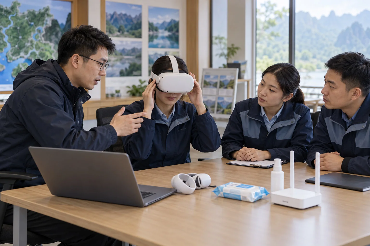
    Train teams in flight, reception, device cleaning and exception handling.

  5. 05

    Continuous iteration

    Use records and feedback to refine content and sessions.

One workflow connects the site and the experience

Lanzhou in practice

In LanzhouBringing aerial views to the ground

Bringing the solution to life in Lanzhou
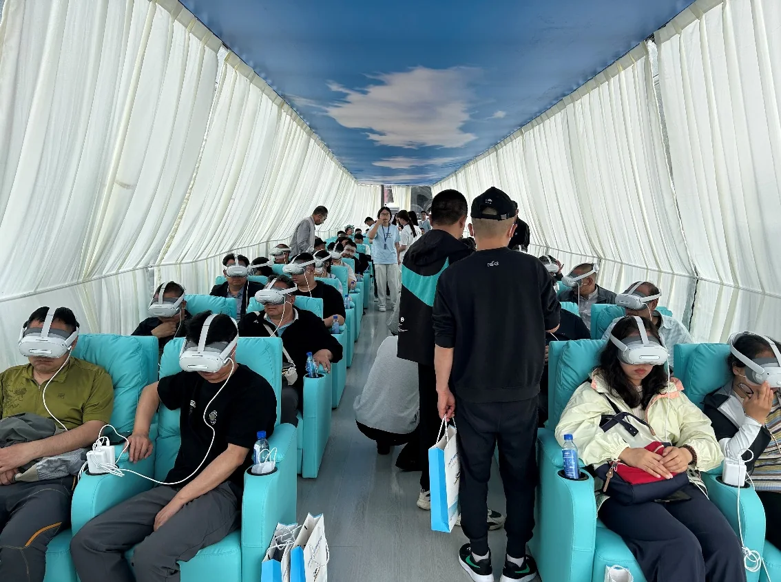
Original photographs from the historical Lanzhou project

Assess on-site feasibility through an existing project's deployment and visitor journey.

20Historical headset configuration per station
≈15Historical flight duration (min)
≈20Experience duration including entry and exit (min)

Capture in flight

Authorized flight personnelApproved routes

Experience immersively

Immersive VR viewingStaff guidance

Waypoint content

GPSNarration + PiP

The historical project used 20 headsets at one station, with approximately 15 minutes of flight and 20 minutes including entry and exit. Validate configuration and pacing on site.

Lanzhou in practice

Build on existing practiceValidate the next site

Historical project experience

Build on existing practice

Reuse the workflow, then revalidate the site, network, routes and reception instead of copying the old configuration.

Account for hardware, software and content, network, venue and ongoing operations rather than one device's price.

This case does not establish suitability for every location. Validate each new site before replication.

Technology foundation

Core capabilitiesValidated under real conditionsCore capabilitiesValidated under real conditions

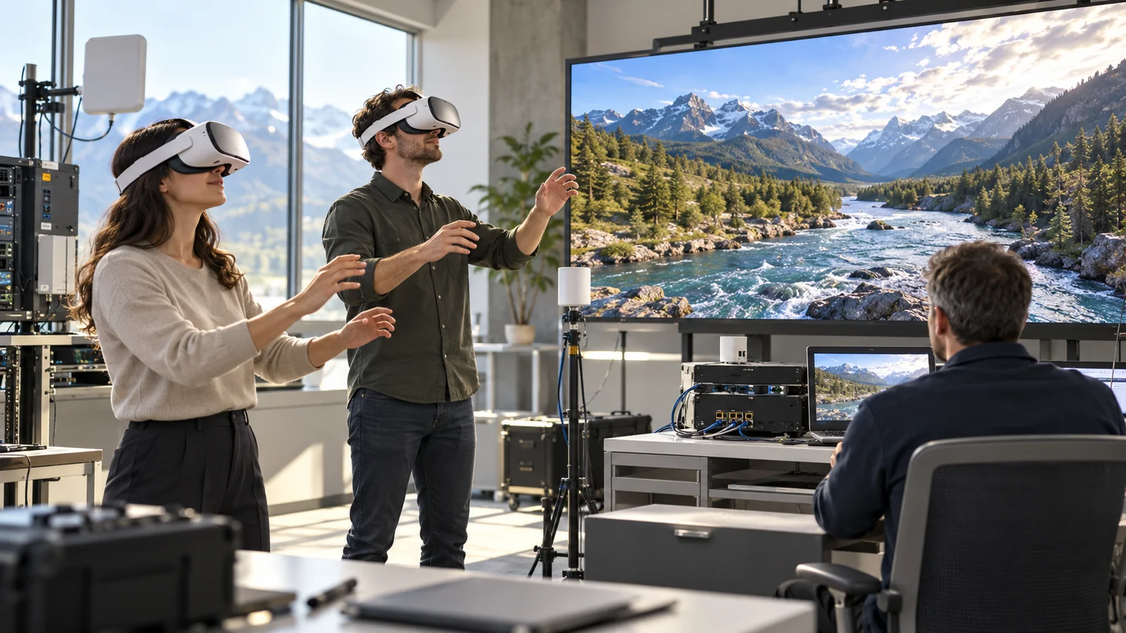
Existing connected-viewing, teleoperation and weak-network tests demonstrate transferable foundational capabilities.

China Unicom · Connected drones and VR

Capture in flightTransmit liveExperience immersively

China Unicom · Connected drones and VR

Live monitoring
Shared viewing, coordinated sessions

Remote task orchestration and multi-endpoint viewing validation.

<200ms

VR end-to-end latency; control maintained at 30% packet loss, with one operator and multiple viewers.
Validation conditions apply only to the corresponding project.

CASC First Academy, Institute 18

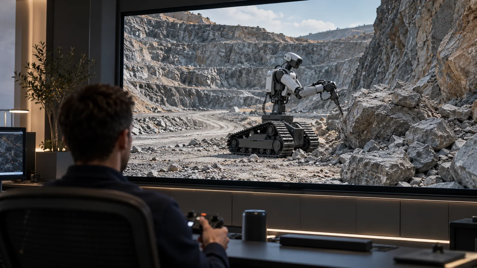
Remote monitoringTracked humanoid robotAerial capture

CASC First Academy, Institute 18

Remote monitoring
Tracked humanoid robot

Mixed-reality teleoperation validation. 148ms video latency; 4K 60fps, jitter <30ms, network switching <2s. Validation conditions apply only to the corresponding project.
China Merchants Energy Shipping · Satellite ship–shore communications

Ship endpointSatellite connectivityShore endpoint

China Merchants Energy Shipping · Satellite ship–shore communications

Satellite connectivity
Remote collaboration

Satellite-connected ship and shore endpoints validate calling under weak-network conditions. 60–100kbps uplink, approximately 1300ms RTT and burst packet loss of 77%; terminals and conferencing systems obtained CNAS test reports. Validation conditions apply only to the corresponding project.

Technology images are illustrations. Metrics apply to their respective project conditions, not a tourism SLA or availability commitment.

Core technology and intellectual property

6+Core technologies
7+Patents
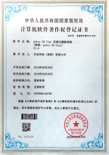
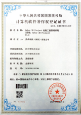
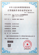
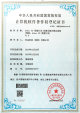
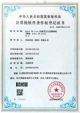
25+Software copyrights
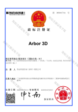
Patent and trademark registration certificates
Patents and trademarks
Software copyright certificates
Software copyrights

Value assessment

Understand the investmentEvaluate the value

Historical annual sales scenario

≈550million CNY / yearExplore operations through visitor and ticket-price assumptions

Historical scenario estimate. Reassess visitor numbers, ticket prices, operating availability and costs.

Investment payback period

—Not established. Confirm cost periods, scope and actual visitor numbers before calculating.

Verifiable value for everyone involved

110,000 visitors × CNY 50 ≈ CNY 5.5 million/year is a historical planning scenario, not actual revenue, profit or a return commitment.

Scenic destination

Aerial panoramas, ground participation

New views

Limited ground-level views

Add new views of the landscape and assess their value using actual visitor-service data.

Visitors

Waypoint narration, stories in the landscape

Immersion

Scenery and narration are disconnected

See aerial scenery from the ground and understand the destination through narration.

Project operator

Shared viewing, coordinated sessions

Review

Operational coordination

Organize sessions, devices and content into a workflow that teams can learn and review.

110,000 visitors × CNY 50 ≈ CNY 5.5 million/year is a historical planning scenario, not actual revenue, profit or a return commitment.

Assess investment across the full operating workflow

Reference one-time investment

About CNY 1.95 million

Historical planning estimate; reconfirm configuration and scope.

Reference operating costs

About CNY 900,000

A historical cost item with an unspecified accounting period.

Reference staffing costs

About CNY 460,000

CNY 1.95 million is a one-time estimate. The period for CNY 900,000 is unclear, and CNY 460,000 staffing may be included. Do not add these figures or derive payback. Project quotations prevail.

CNY 1.95 million is a one-time estimate. The period for CNY 900,000 is unclear, and CNY 460,000 staffing may be included. Do not add these figures or derive payback. Project quotations prevail.

Arbor|XR + AI

Your destinationA new experience

Share your scenario and goals, and define the first step together

heng.ji@arborstandard.com